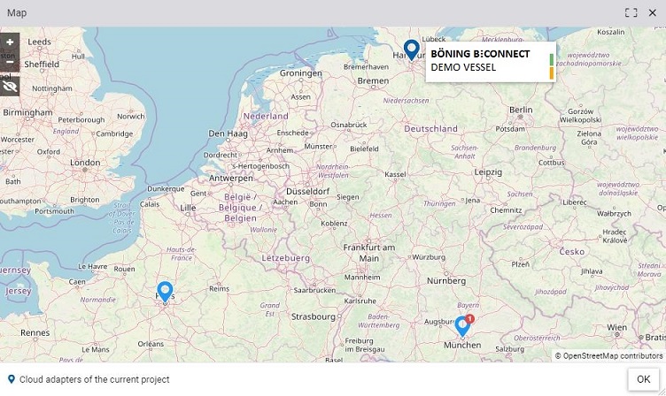
Positions of all your vessels are presented on a graphical map. This gives you a quick overview of your ship fleet.


 )
)